PENNSVALLEY
12
COPYRIGHT
Lesson 9:
HowDoWe Read aMap Legend?
While reading this book, youwill beworkingwithmanymaps.Maps are drawings of real places.
In order to understand themmore easily, mapmakers use
symbols
on themap. A symbol stands for
a real placeor object on theearth.Therearemany different types of symbols.Ones that youareprob-
ably very familiar with are the icons that are usedwith computer programs or traffic signs.
However, we need to look at the symbols used for maps. There aremany kinds of maps; there-
fore, there are many kinds of map symbols. For example, mapmakers can use picture symbols,
shapes, colors, or letters to represent things on the earth.
ACTIVITY 1:
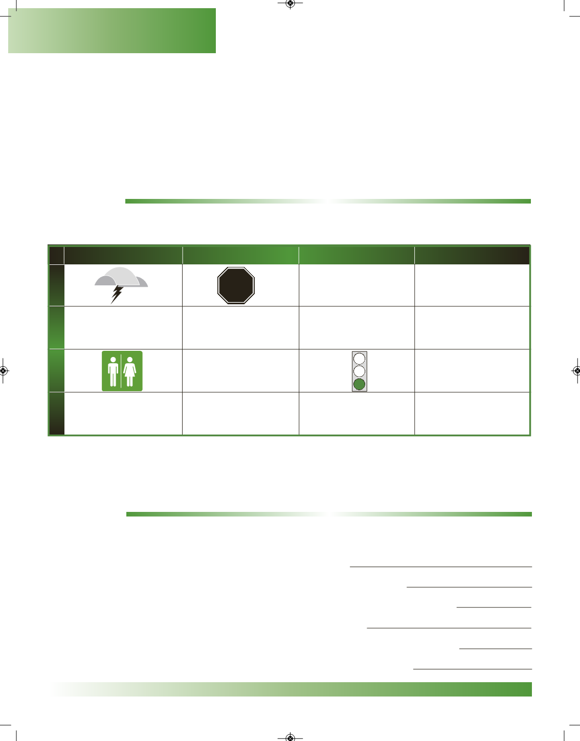
Look at the chart on symbols.Write in themeanings of the symbols fromRows 1 and 3 intoRows 2 and 4.
Chart onSymbols
Toknowwhat amapsymbolmeans, youneed tocheck the
legend
, or key toamap.Thekeyhelps
you tounlockwhat isonamap.Nowwouldbeagood time to introduce you to your
AtlasBuddy (AB)
.
We will be using this atlas in many places in your book. Let’s take a look at the maps on
pages iv-xiv.
ACTIVITY 2:
Use your
AtlasBuddy (AB)
on pages iv-xiv to answer the following questions.
1.On your NorthAmericaPolitical Map, what symbol does the
mapmaker use to show different countries?
2.Themapmaker useswhat kind of symbol to show theTropic of Cancer?
3.On your NorthAmericaClimateMap, what color is used to show rain all year long?
4.On the samemap, what does the color symbol white stand for?
5.On your NorthAmericaPhysical Map, what do different shades of brown stand for?
6.On the samemap, what does blue, or different shades of blue, stand for?
PictureSymbol
ShapeSymbol
Color Symbol
Letter Symbol
Blue on amap
H
E,W, N, S
★
1
2
3
4
Geography Skills


