Lesson 10:
HowDoWe Read aMap Scale?
Amap can be used to figure distances between places. For example, the earth’s longest border
between two countries has beenmeasured to be nearly 4,000miles.That border is betweenCanada
and theUnitedStates.We cannot put 4,000miles in our pocket.To be useful, maps need to bemade
small enough to fold and hold or fit in a classroom.Mapmakers can takemanymiles and draw them
onto amuch smaller area of amap.They do this by a handy idea called a
map scale
.
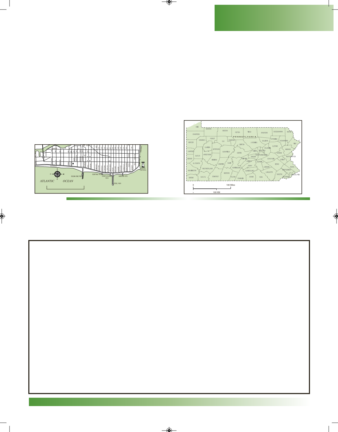
Themap scale isusually found ina rectangular-shapedboxon themap.On that scale, it will tell you
that a certain amount of space is equal to somany actual miles. Maps have different size scales. It all
depends onhowmuch landor water needs tobe shown ina certainamount of space.For example, one
inch could equal one mile, or it could equal 100 miles.
You can use a ruler or yardstick tomeasure themiles.
ACTIVITY:
On this pagemake amap of your classroom.On themap, you should place a: 1) compass rose,
2) legend or key, and 3) a simple scale (for example 1 inch = 5 feet). Include the important parts of
your classroom.Don’t forget the doorway!
MyClassroom
COPYRIGHT
13
PENNSVALLEY
Geography Skills
0
1Mile


