Lesson 8:
What Are Types and Tools of Maps?
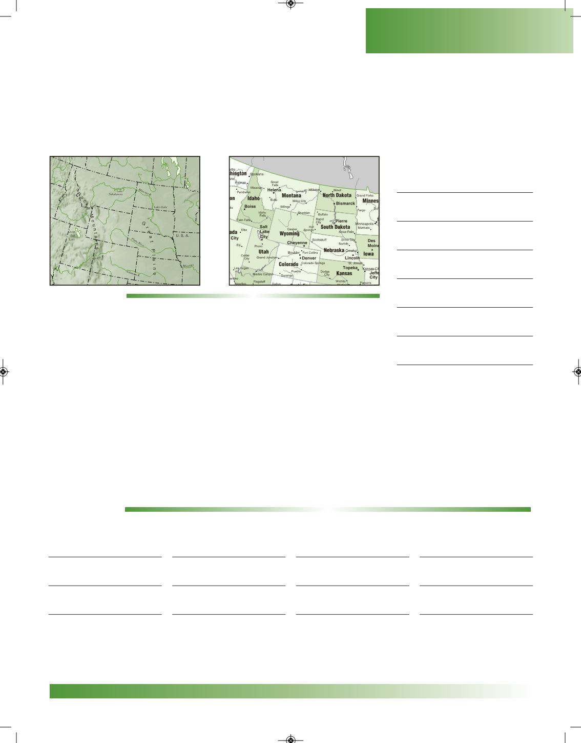
There aremany types of maps used to show information.Most maps can be grouped into one of
two types:
physical maps
and
political maps
. Physical maps show the location of physical features
such as elevation (height of land), rivers, mountains, grasslands, and deserts. Political maps show
locations of borders to countries, states, counties, cities, and capitals.
ACTIVITY 1:
In the column to the right, list other kinds of maps you have seen or
used. An example is provided.
All maps have titles and labels. These items give us the big picture of what a map is all about.
Mapmakers use other tools to describe and locate places.We already know that the compass rose is
used to show direction.
Because there aremore than 2,000 languages spoken in theworld, mapmakers have developed
a way to help people figure out what information is on amap.They have placed symbols in a box on
themap.This box is called a
legend
, or
key
.The key unlocks the box and givesmeaning to the sym-
bols. A symbol stands for a real thing or object. Some symbols are picture symbols, while others can
be shownwith colors, shapes, numbers, lines, or letters.When you thinkabout it, everymapandglobe
is a symbol! They stand for the earth or some part of it.
ACTIVITY 2:
Write thenames of different symbols youhave seen in your environment.The first one is done for you.
stop sign
Kinds of Maps
weather
COPYRIGHT
11
PENNSVALLEY
Geography Skills


