PENNSVALLEY
4
COPYRIGHT
Lesson 3:
What Are Lines of Latitude and Longitude?
There is yet another waywe can locateplaces onearth. Just imagine traveling ina satellite,miles
above theearth.The satellite firesahugenet that surrounds theearth.Mapmakershave createdanet
withmany imaginary lines that crisscross theearth.Numbers, called
degrees
, aregiven toeach imag-
inary line.Wewill use these numbers later.
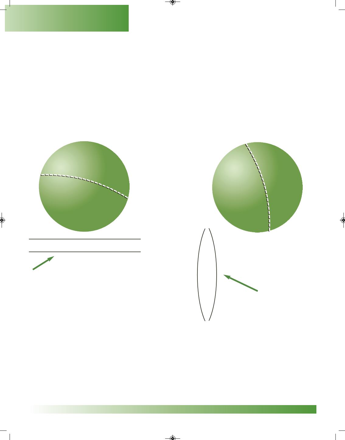
As you read this information, look at the illustrations.On
SphereC
, imaginary lines that aredrawn
fromwest to east are called
parallels
, or lines of
latitude
. Parallel lines never touch each other. Now
here is the hard part. They measure distances north and south! On
Sphere D
, other imaginary lines
that are drawn from north to south are called
meridians
, or lines of
longitude
. Meridian lines come
together at theNorthandSouthPoles.Are you ready for thehardpart?Theymeasuredistancesgoing
east andwest! In the next lesson, we can start using these ideas to locate places on the earth.
Here are two parallel lines.While they run
east andwest, they are north and south of
each other!
Here are two lines of longitude.
While they run north and south,
they are east andwest of each
other.Meridian lines come
together at theNorth and
SouthPoles.
Here are a couple of important points to remember.
1. Lines of latitude onlymeasure distances north and south of theEquator.They help us locate the
Northern andSouthernHemispheres.
2. Lines of longitude onlymeasure distances east andwest of thePrimeMeridian.They help us
locate theEastern andWesternHemispheres.
SphereC
SphereD
Geography Skills


