8
●
Chapter 1
The number of people who live in a
certain area is called
populationdensity
.
Mapmakers use colors or shadings to show
howmanypeople live inareasof land. Look
at the map on page 36 to see the different
population densities of Pennsylvania. You
will see that greater numbers of people live
in our cities and valleys. Fewer numbers of
people live in the mountains and rugged,
rural parts of Pennsylvania.
Population density is figured out by
multiplying one mile of land by another
mileof land. Let us pretend toput people in
this space. This iswhat is calledpersons
per
squaremile
.
Pennsylvania has an average of 274
people living in each square mile. More
people than the average live in our cities
and fewer people than the average live in
ourmountains and plateaus.
We can compare the population density
of our state by looking at some other states.
For example,Montanahas three timesmore
landarea thanPennsylvania.However, only
fivepeopleper squaremile live inMontana.
Alaska is our largest state in land area. Only
one person per square mile lives in Alaska.
However, our neighbor state of New Jersey
has nearly five times less land area. But its
population density is about 1,171 persons
per square mile. What can you conclude
about Pennsylvania’s population density
from this information?
Weather and
Climate
T
wo other physical features used to
describe a place are
weather
and
climate
. Weather is something
you can see and feel in the outdoor
environment each day. Some days you can
go to the playground during recess. In bad
weather, you cannot go to the playground.
On somedays, schools are closedor delayed
because of snow or ice storms. There are
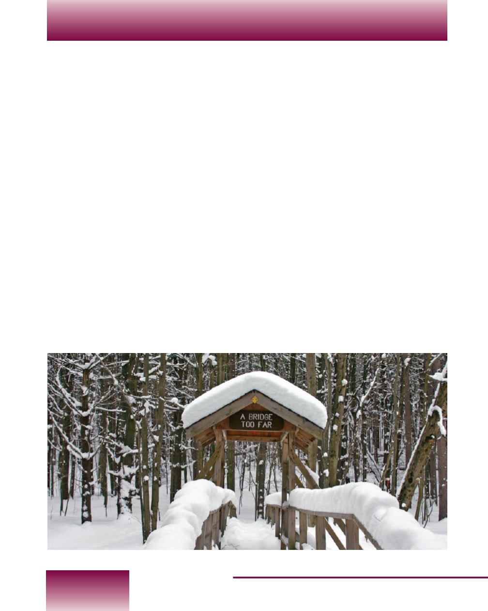
Northwestern Pennsylvania gets muchmore snow
than the southeast part of our state.


