TheMason-DixonLine
Chapter 1
●
5
In the 1760’s two English surveyors named
CharlesMason and JeremiahDixonmarked
the border between Pennsylvania and
Maryland. The location of this border settled
one of the longest running land disputes in
American history.
Mason andDixonwere expected to finish
this survey in onemonth. It took them almost
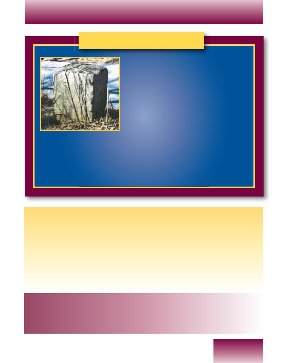
five years. A 600-pound stonemarker was
placed everymile. This was a very difficult job.
The surveyors had to rely on the Iroquois Indians as guides, hunters, and
axmen to complete their work.
TheMason-Dixon Line was very important during the CivilWar. All states
north of the line were known as Northern States. All states south of the line
were known as Southern States.
ReviewQuestions
1.Which states share borders with Pennsylvania
a. to the north:
c. to the south:
b. to thewest:
d. to the east:
2. Name the two natural waterforms that share borders with our state.
3. Define the following terms:
a. continent
c. border
b. region
d. panhandle
4.What is another word used to describe border?
CRITICAL
THINKING
QUESTIONS
1. Describe how your own school couldhave its own regions.
2. Identify and label these regions.
3. Identify other signs youhave observed in other situations
that showmake-believe borders exist.


