Concord
Northeast
Mid-Atlantic
Southeast
North Central
C e n t r a l
N o r t h w e s t
S o u t h w e s t
S o u t h
C e n t r a l
Chapter 1
●
3
state to another, you will not see a line!
Instead, a sign tells when you have entered
that state.
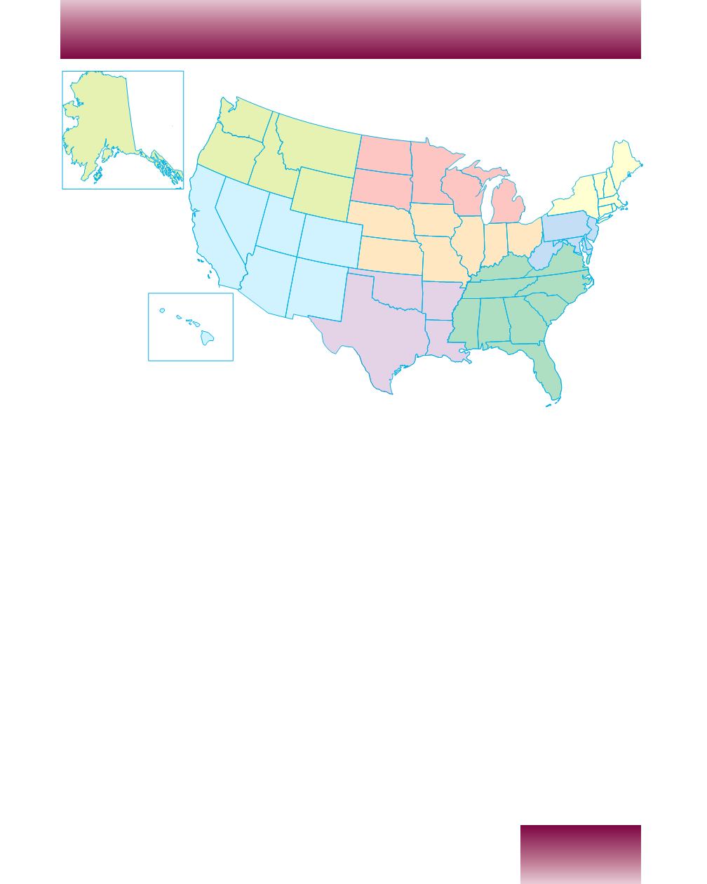
The United States is located between
Mexico andCanada. Our country is so large
that it is divided into 50 parts. Each part is
calleda
state
. Pennsylvania isoneof the50
states in the United States. Our state is
located in the eastern part of our country.
Our country is also divided into regions.
A
region
is a large surface of land area that
has some feature in common. In this case,
we are located in a certain direction or
region of the United States. That region is
called the
Northeastern
part of our
country. Our state is also the southernmost
state in theNortheast region. Sometimeswe
are called a state in themid-Atlantic region
because our state is located in themiddle of
the states that border the AtlanticOcean.
Pennsylvania’s
Borders
O
n the map, look at the eastern part
of theUnited States. LocatePennsyl-
vania.What shape does it look like?
It looks like a rectangle. Pennsylvania
shares borders with six states, one Great
Lake, andone river. Let us take a finger trip
around our borders. (Seemap on page 4.)
Place your finger upon Pennsylvania’s
northern border. Almost all of our state’s
northern border is shared with
New York
State. Travel west on this boundary line. You
will arrive at what is called the “chimney
corner” of Pennsylvania. Here, for a distance
of about 40 miles, our state borders one of
theGreat Lakes called
Lake Erie.
Next, trace you finger south on
Pennsylvania’s western border. For about 80


